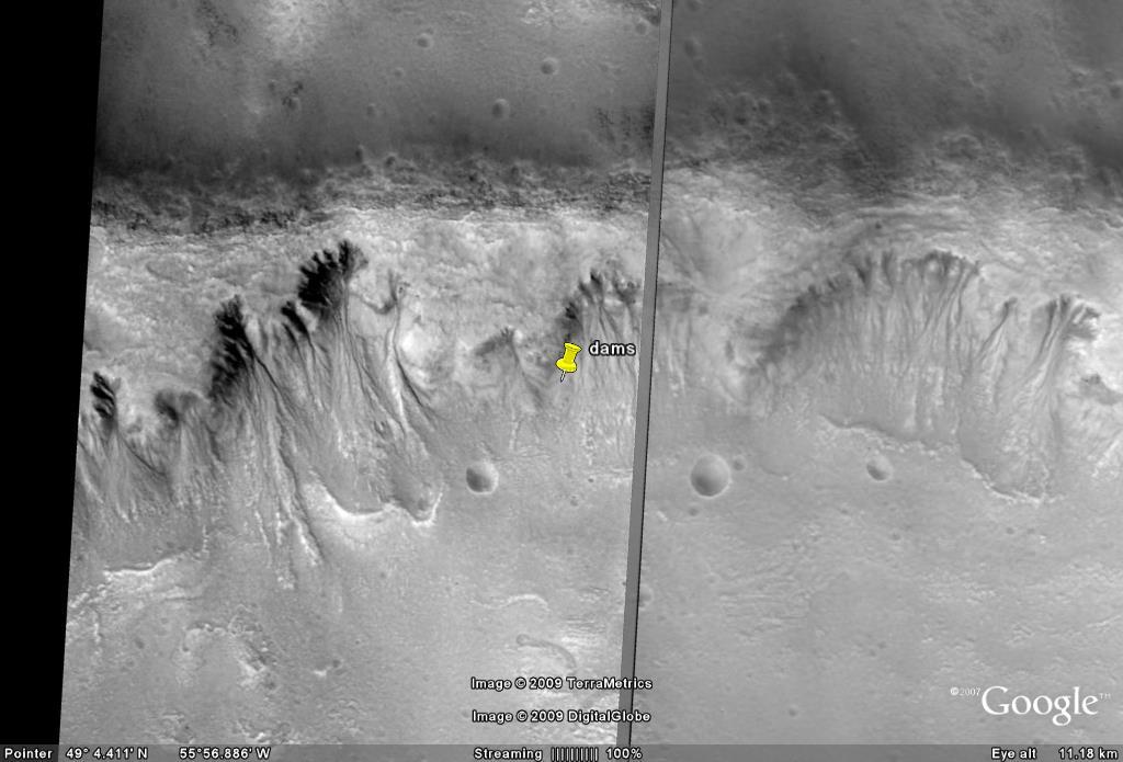
There are more dam structures here from A to H. I shows where a new channel may have been carved to get the water into the dam, as it doesn't seem to move with gravity down the slope. J shows a possibly built up area to block the original ravine, which was diverted to I.
At K there is the debris which came from the ravines just above it, the size is about the same as above it. Then there is a gap Q between the debris at K and the dam at A. This gap shows the debris at K didn't form the dam at A because the dam is much wider than the debris.
At R there is a similar gap between the debris at L.
At M the debris from the ravines above is quite pronounced then there is a gap of undisturbed soil at S between it and the dams at B and C. The left edge of B and C in particular has no debris above it, but is just as well formed as in the centre of the dam B where there is plenty of debris above it. So the shape of B and C is unrelated to the shape of debris above it.
At N there is more typical debris from mass wasting and water erosion then a gap T between it and the dam at E, the dam extends to the right far past this debris and so cannot have formed from it.
At O there is again erosion from the ravines then a gap U between it and the dam at G. So the dam could only have formed from the gap material, but it is much larger than this gap. Some of the material at O extends nearly down to the dam, so this should leave less material for the dam at that point, but the dam is just as thick. So the dam material could only have come from below.
At P there is the debris from the ravine above, then the gap at V over the dam at H. The dam at H is nothing like the shape of the debris at P so it could not form as part of it, it is much wider for example.